"Dear All,
We are going to walk this Long Distance route on Monday
September 17th. Please be honest about your fitness for this walk as it is 18.5
miles long, mostly off road and there are NO refreshments en route.
I'll be catching the 9am bus from Bury St Edmunds bus station
and arriving in Clare at 9.51am.
Please bring plenty of water and food as we will be walking
til 5-ish I think.
Any questions? I'm doing a recce this Friday so
will be able to answer any questions after that"..said the invite. So I brought plenty of liquid in my backpack - and needed it all as well as a top up of a bottle from the tap of someone out watering his garden.
Here is a map of the route as we walked it...
As it turned out, there were more people on the recce than the day itself, and, with Alex unable to make it, it was just Joyce and me. We met at the bus stop as planned and sat upstairs at the front to enjoy the ride and views.
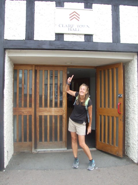
We got off the bus just outside Clare Town Hall and started from there rather than walk to the Country Park and back again.
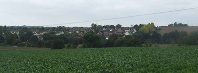
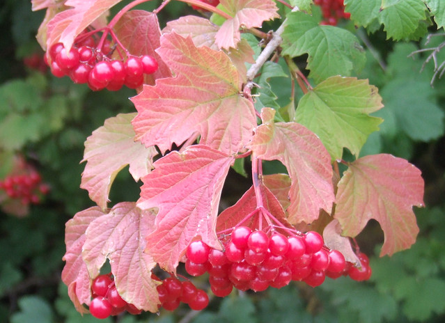
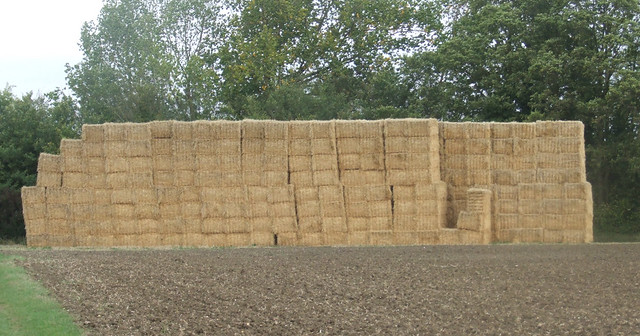
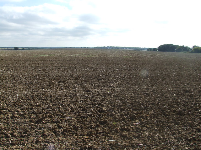
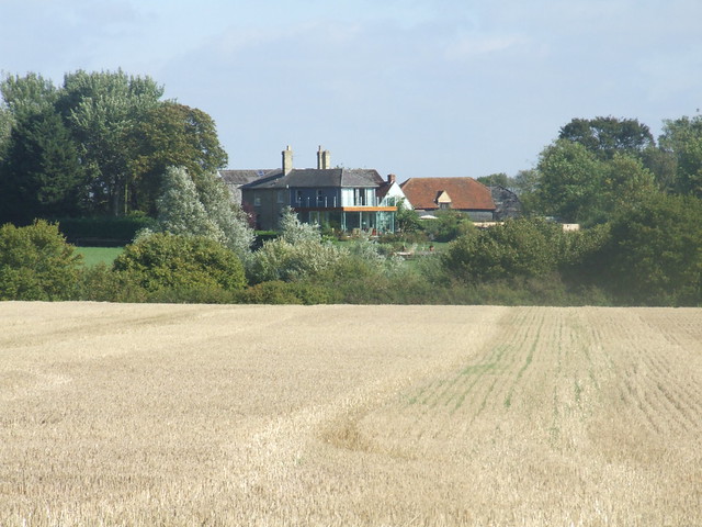
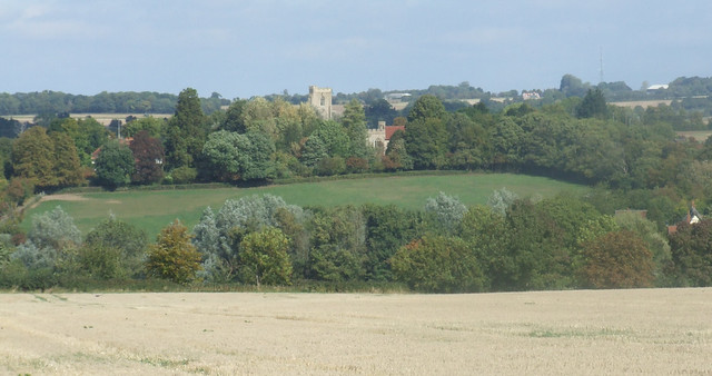
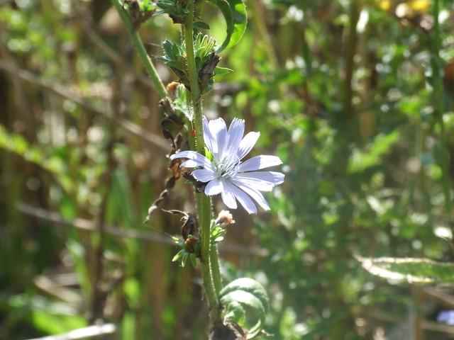
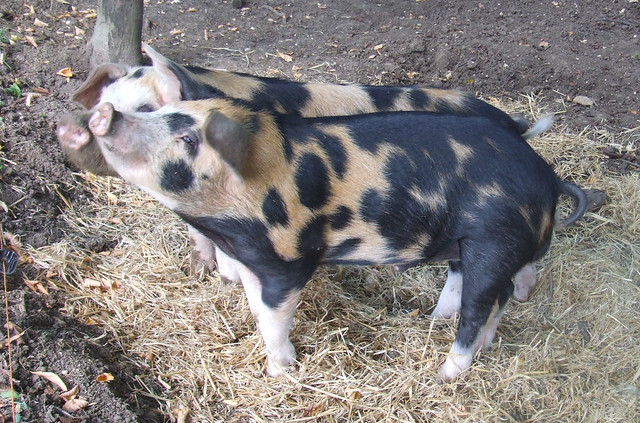
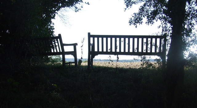
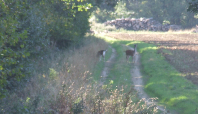
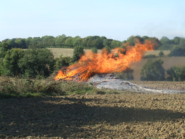
Here are some of my photos. The start of the walk was dominated by huge fields, but as the walk progressed it got more interesting. We saw some more berries like those we found on our Needham Market walk. Doing another look I think they might be redcurrants rather than cranberries - see here. We saw a nice haystack, some chicory flowers (check that I'm right here), some cute little pigs, some goats and even spotted a couple of deer. And we saw some rather fine buildings too. The weather was warm and the sun came out so it was very pleasant walking conditions. One thing the recce walkers didn't see was the massive bonfire that we could feel the heat from from 20m away as we crossed the ploughed field next to it.
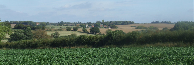
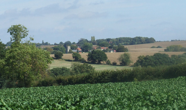
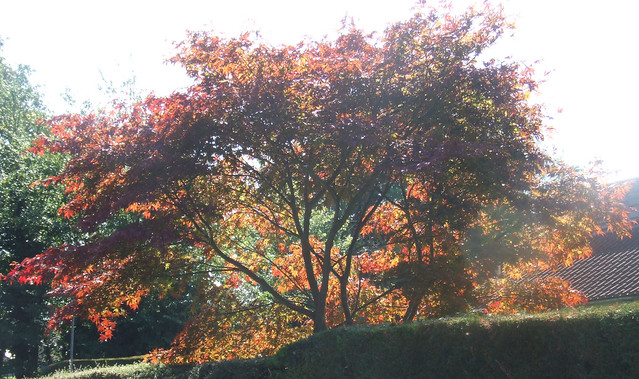
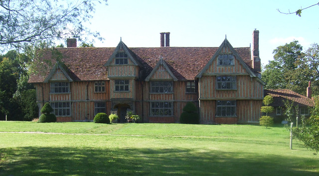
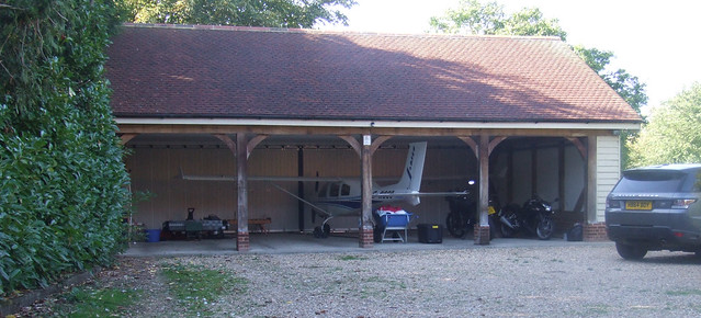
The aircraft in the garage was a bit of a surprise!
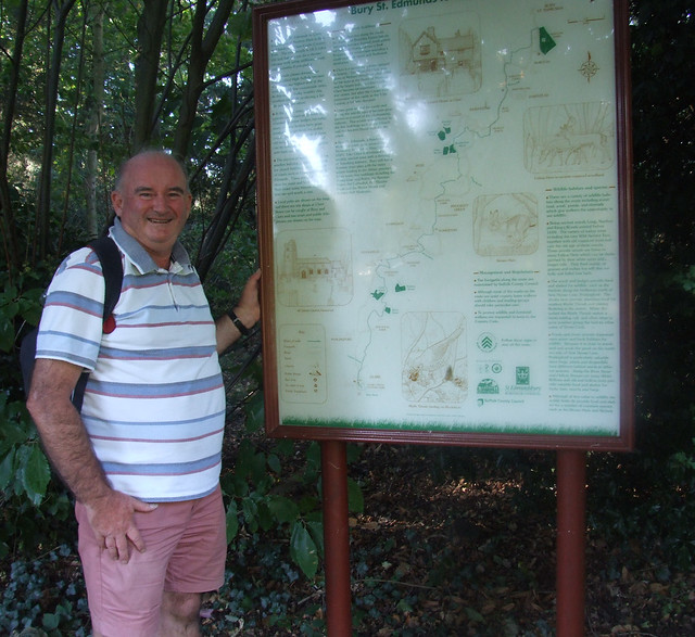
We finished at the proper point in Nowton Park by about 4:40pm so we had made good time. Here I am at the sign.
Of course I wasn't finished yet. I had to get back to my car in the Ram Meadow Car Park.... which was another 1 1/2 miles walk!
One question we had... which direction is better and is one harder than the other? Well here is the elevation profile of our route...
It seemed to me that the ups in this direction were steeper than the downs, so it was maybe a little harder. But the scenery was definitely better after the first couple of miles, so I'm glad we did it our way. The walking was mostly fine - what was on roads was on very quiet ones - but there were a few ploughed fields to cross where the path had disappeared. I didn't enjoy those much.
This is our speed profile...
You can see where we stopped for lunch at the bench near Somerton Church and I forgot to pause my tracking and a few drink breaks. As you can see, we started at quite a brisk pace, but we took it a bit easier later.
Here is a slide show of my photos taken en-route.
You can see all off my photos on Flickr here and more details of our route and progress on MapMyWalk. Thanks Joyce for the great day out! It was a bit of a long one but aside from some trigger finger cramps once my sausage fingers subsided, no ill-effects in legs and feet the next day, so I think I could have done it again.



No comments:
Post a Comment